UN
8 Sefton Avenue
£ 207,500
Description
We don't have a Description for this property.
- Bedrooms
- 3
- Bathrooms
- 0
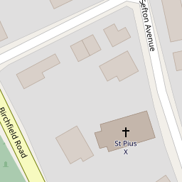
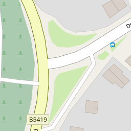
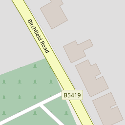

Leaflet © OpenStreetMap contributors
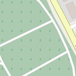
The heatmap indicates the level of crime in the area. The color of the heatmap indicates the crime severity and recency.
Metrics Year-on-Year
- Average area value
- 222,105.00 £Increased by 27.39 %
- Average area rental value
- 751.00 £/moDecreased by 24.90 %
- Est rental Yield
- 4.06 %Decreased by 40.99 %
- Crime Rate
- 4.00 %Unchanged by 0.00 %
from 174,349.00 £
from 1,000.00 £/mo
from 6.88 %
from 4.00 %
Nearby Schools
| Name | Type | Ofsted | Distance |
|---|---|---|---|
| Farnworth Church Of England Controlled Primary School | Voluntary Controlled School | Good | 0.36 KM |
| Birchfield Nursery School | Local Authority Nursery School | Good | 0.57 KM |
| Lunts Heath Primary School | Community School | Outstanding | 0.69 KM |
| Wade Deacon High School | Academy Converter | 0.78 KM | |
| Fairfield Primary School | Community School | Good | 1.00 KM |
Images
Nearby Streets
| Name | Average Price | Average Sqft | Distance |
|---|---|---|---|
| Cornwall Road | £ 160,000 | 0 | 0.00 KM |
| Buckingham Avenue | £ 285,000 | 0 | 0.00 KM |
| Victoria Avenue | £ 400,000 | 0 | 0.00 KM |
| Victoria Grove | £ 302,500 | 0 | 0.00 KM |
| Holyrood Avenue | £ 385,000 | 0 | 0.00 KM |
Nearby Transport
| Name | NLC | TLC | Distance |
|---|---|---|---|
| Widnes | 2391 | WID | 0.38 KM |
| Runcorn | 2291 | RUN | 4.83 KM |
| Hough Green | 2303 | HGN | 4.88 KM |
| Lea Green | 2339 | LEG | 5.10 KM |
| Rainhill | 2296 | RNH | 5.50 KM |
Nearby Listings
| Address | Price | Type | Score | Distance |
|---|---|---|---|---|
| Derby Road, Widnes | £ 385,000 | BUY | 7 / 10 | 0.10 KM |
| Birchfield Road, Widnes, WA8 | £ 235,000 | BUY | 6 / 10 | 0.17 KM |
| Birchfield Road, Widnes | £ 325,000 | BUY | 6 / 10 | 0.21 KM |
| Pit Lane, Widnes, WA8 | £ 300,000 | BUY | 5 / 10 | 0.22 KM |
| Derby Road, Farnworth, Widnes | £ 215,000 | BUY | 6 / 10 | 0.36 KM |
Nearby Properties
| Address | Price | Distance |
|---|---|---|
| 13 Sefton Avenue | £ 208,000 | 0.00 KM |
| 15 Sefton Avenue | £ 145,000 | 0.00 KM |
| 11 Sefton Avenue | £ 316,000 | 0.00 KM |
| 17 Sefton Avenue | £ 140,000 | 0.00 KM |
| 14 Sefton Avenue | £ 200,000 | 0.00 KM |